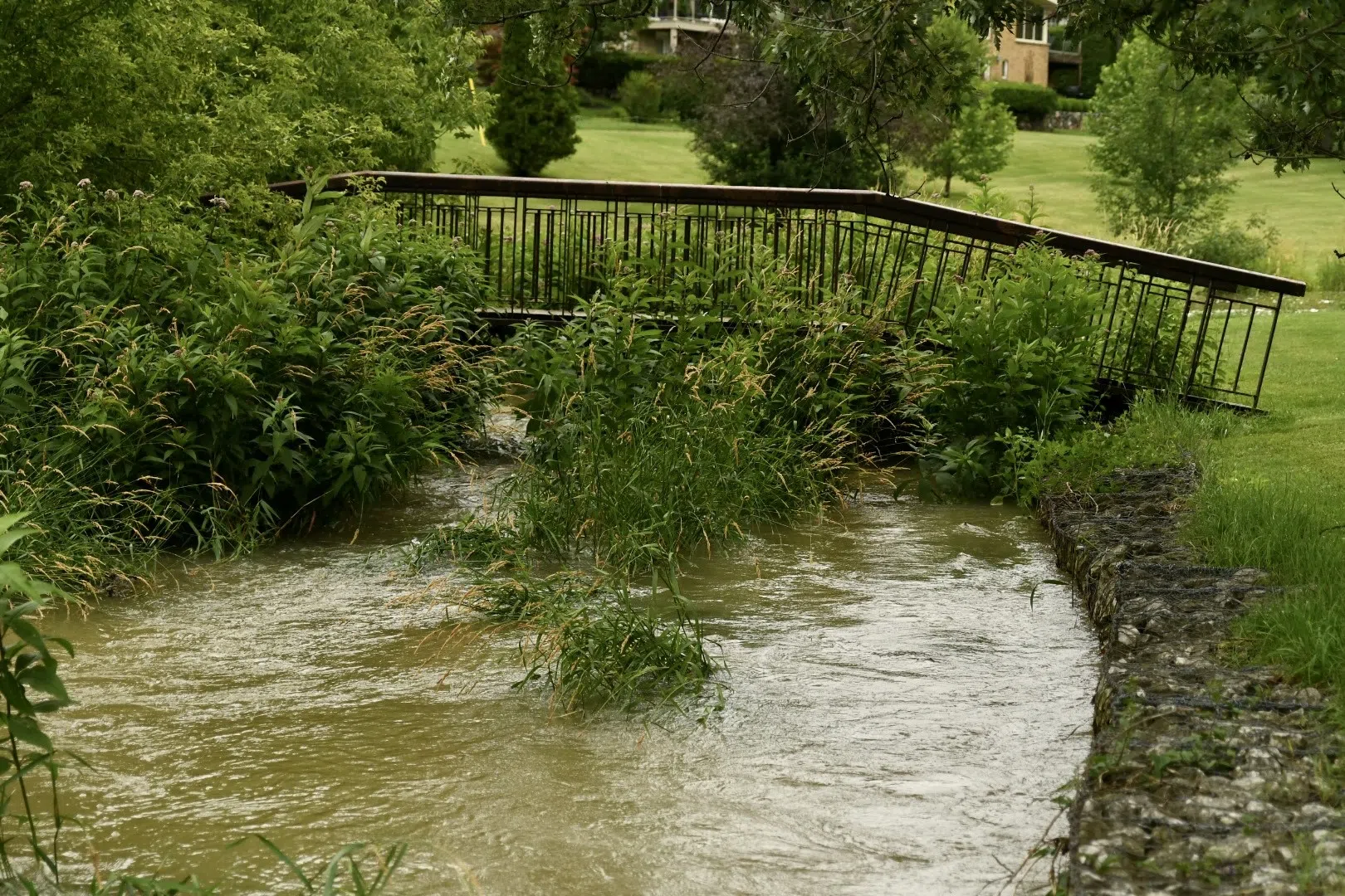
Flooding in McNaughton Park as seen earlier this year | Photo by B. Shakyaver
In the next 36 hours, the Ausable Bayfield watershed area faces an increased risk of minor flooding due to warm temperatures and anticipated rainfall ranging from 20 to 25 millimetres.
Residents are advised to exercise caution and stay away from waterways.
The weather pattern is set to unfold with light rain beginning this afternoon, followed by a dry spell before more substantial rainfall commences tomorrow evening.
Heavy rains are expected overnight Thursday, tapering off as the weekend approaches. The combination of rain and temperatures above freezing will accelerate the melting of the existing snowpack, with snow survey data indicating a water equivalent of 25-35 mm.
With saturated soils, the runoff is expected to be swift. River-flow forecast models suggest that watercourse levels will rise rapidly, peaking in northern areas of the watershed by Friday. While many watercourses are projected to exceed their banks, major flooding is not anticipated, with the impact limited to low-lying undeveloped flood plains. The extent of flooding will hinge on actual temperatures and rainfall.
While significant ice-jam-related flooding is not expected, the weak river ice may break up quickly with rising water levels. Municipal staff are advised to monitor local drainage areas where catch basins may be covered by snow.
Residents should exercise extreme caution around watercourses, as ice is considered unsafe. Additionally, slippery and unstable streambanks, hidden by drifted snow, pose additional hazards. This advisory remains in effect until 9:00 a.m. on Monday, January 29.
Written by: B. Shakyaver